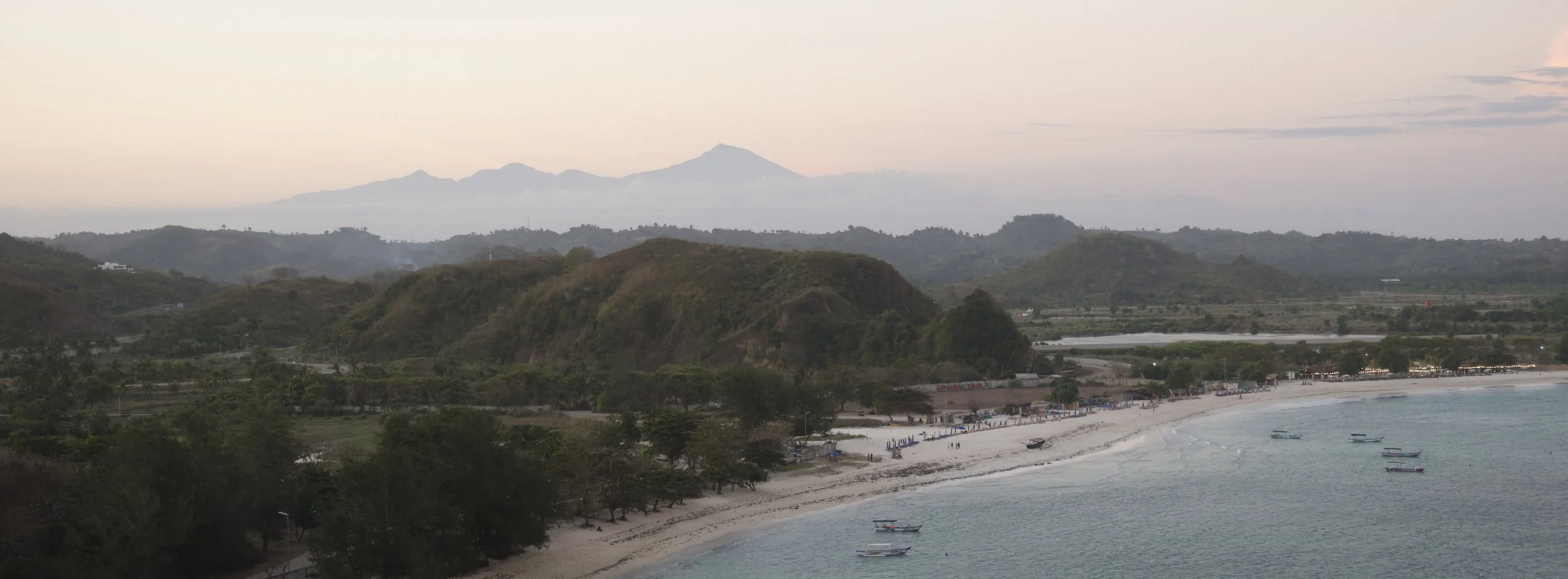
Rinjani: Three Days on Indonesia’s Second Highest Volcano
By this point, it has virtually become an annual tradition: find myself on a multi-day trek somewhere (seemingly forgetting how much I suffered the year prior), hobbling downhill with my knees in pain, questioning my life choices (and saying that I am never going to do this again), and then looking back at some (hopefully) nice photos and thinking “that was fun, I can’t wait for the next one”. Relatively close to Singapore, Mount Rinjani has always sounded like a fun challenge, and I knew it was a matter of time before I’d try and summit.
Even though Rinjani is supposedly “easier” than some of my previous treks, my goal was to try and go up and down without being in (too much) pain. As such, the weeks leading up to the trek were packed with physio-mandated single-leg gym sessions, HDB staircase climbs, and inclined treadmill walks (12-3-30 iykyk). However, beyond just wanting to minimise injury, I had another reason to train: this time, I wasn’t going to be alone :) I had managed to convince my partner WT to join me for her very first (and hopefully not last) multi-day trek, and so training together was a good way to make sure we’d both be ready for whatever lay ahead of us.
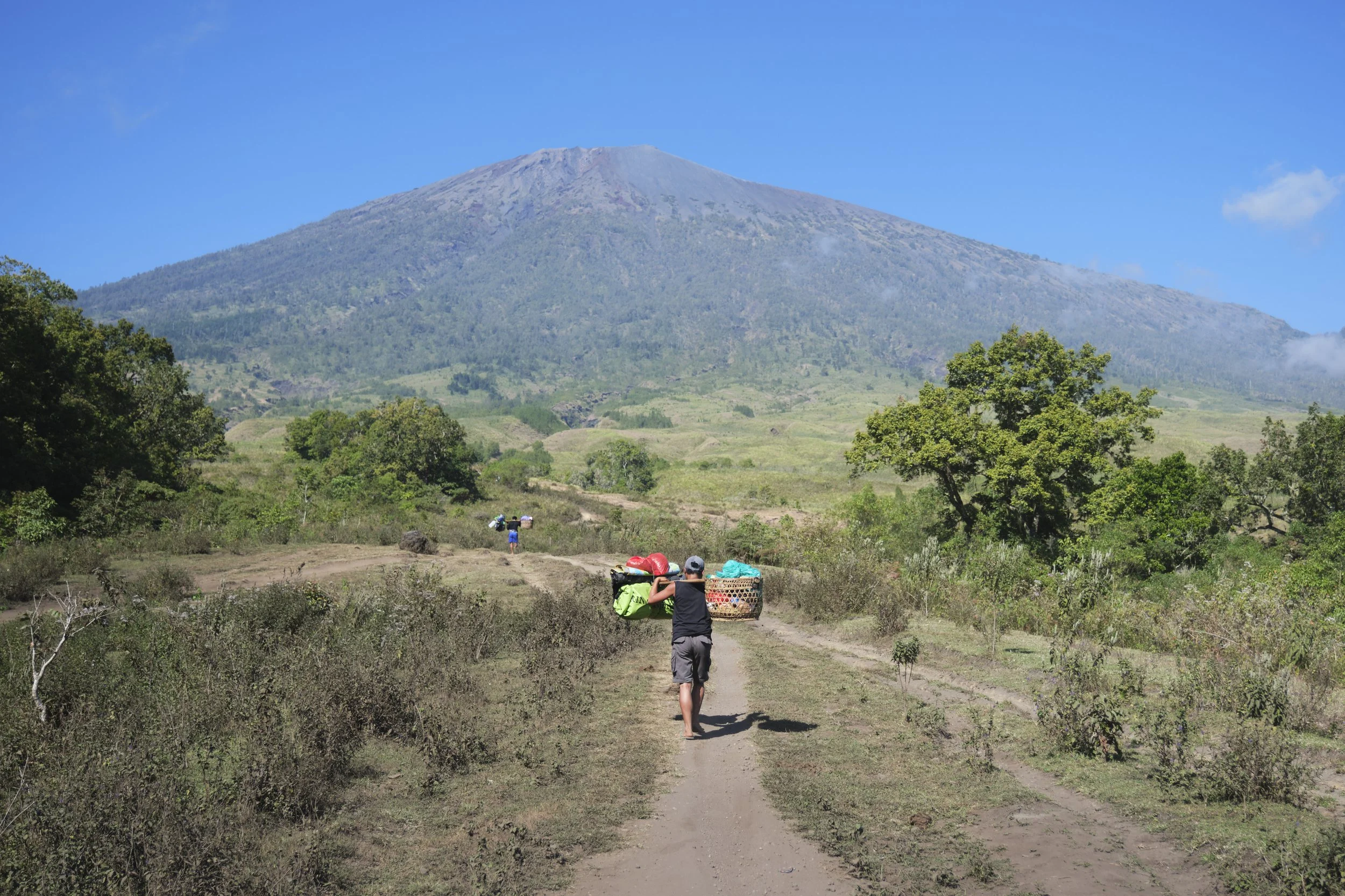
We left our rather comfortable overnight stay in Senaru, a village about half an hour away from the start of our trail, just after dawn. Following a brief “medical” check-up where they took our blood pressure and oxygen levels, we were dropped off at the trailhead. As by far the tallest mountain in Lombok, we could see Rinjani from virtually anywhere on the island, making standing right under a rather imposing sight. Our guide Rama had briefed us on our journey for the next few days: on day 1, we would make our way from Sembalun village (1,200m) up to base camp (2,600m). There were four checkpoints, and we would stop for lunch around checkpoint 2. Each checkpoint would be steeper and more challenging than the last. We’d then have the late afternoon and evening to rest, before a 1.30am wake-up for the Summit push (3,726m), with the goal of making it to the top at/before sunrise. Thereafter, we’d slowly make our way back down to our base camp and then into the crater. We had opted for the Torean route, so rather than sleeping by the lake on night 2 (as most people do), we would need to go further on day 2, but it meant not needing to climb back up out of the crater, and that we would have a (slightly) easier and earlier finish on day 3.
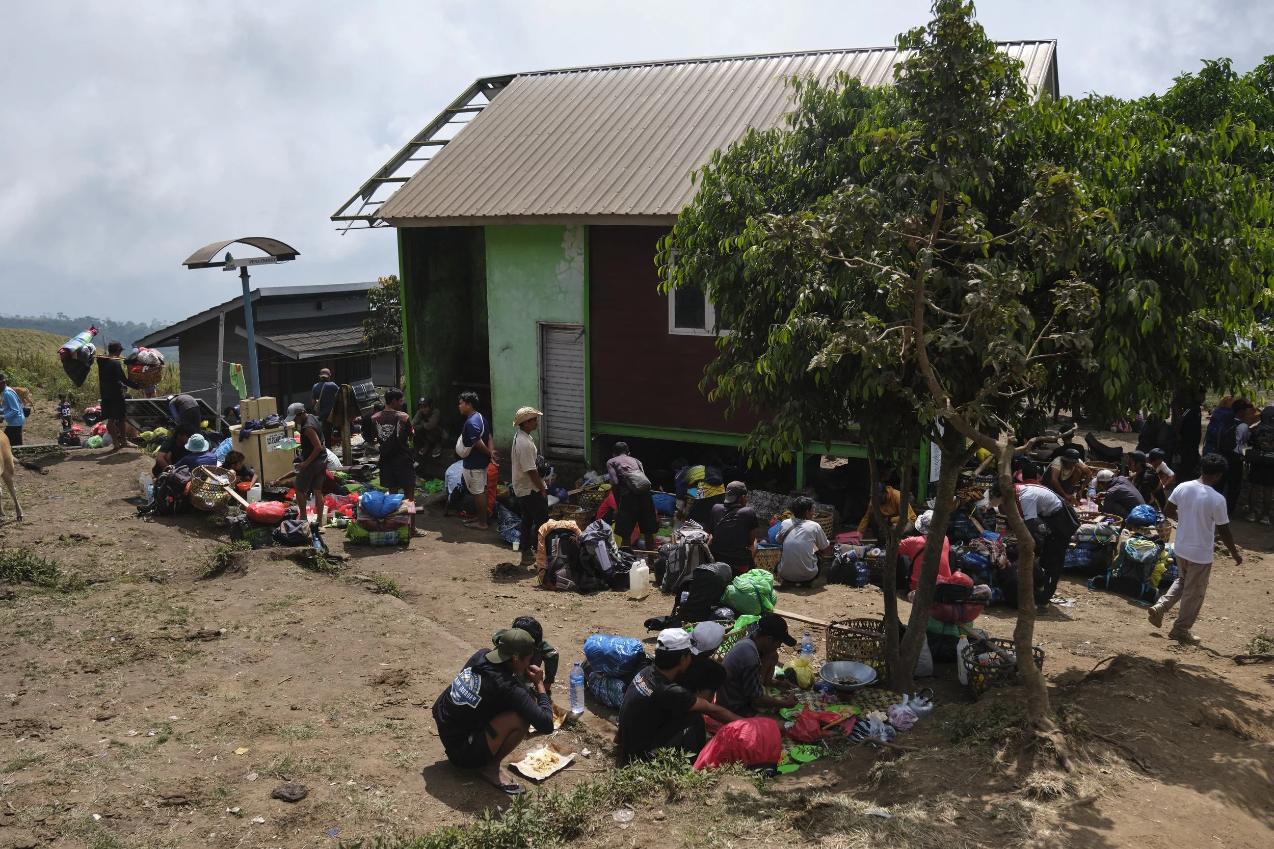
Our first lunch stop. The trekkers/tourists were all on the other side, sitting in shaded wooden huts, while the porters and guides were cooking up a storm.
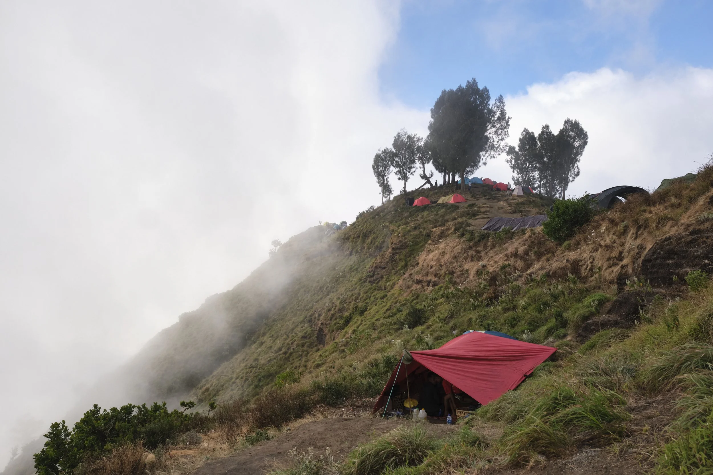
Our nicely secluded campsite for the first evening.
The morning trek was… honestly quite relaxed. We made it to the first and then to the second checkpoint with relative ease, and could enjoy the gradual climb and the epic views. Sure, we were outpaced by virtually everyone (as normal), including porters carrying baskets weighing up to 40kg, but Rama described our pace as “alright for ASEAN nationals”, which I will gladly take. We made it up to our lunch point in good time, and we were treated to a delicious and freshly cooked lunch prepared by the porters (the meals throughout the trek were consistently excellent). Despite being three hours up into the mountains, there were still stalls selling soft drinks, chocolates and sweets, and it felt almost like we were at a pasar malam. After lunch, things started to escalate (literally) and I had to occasionally remind myself that this was still the warm-up. WT, however, was scampering up like a mountain goat. Sticking closely to her, we slowly but surely made it up to our base camp, where our porters had found us a relatively secluded spot for the evening. Unfortunately, by the time we reached basecamp, a thick layer of fog had enveloped us, and we had no visibility of the crater or our surroundings. While I was slightly apprehensive that this was a bad omen for our summit push, Rama assured us that the fog was usually only an afternoon thing, and that sunrises and sunsets were normally clear. Sure enough, the fog did partially clear as the sun set behind the mountain. After a delicious curry dinner and briefly gazing at the stars, it was time for a 7pm bedtime, with a LONG day ahead of us.
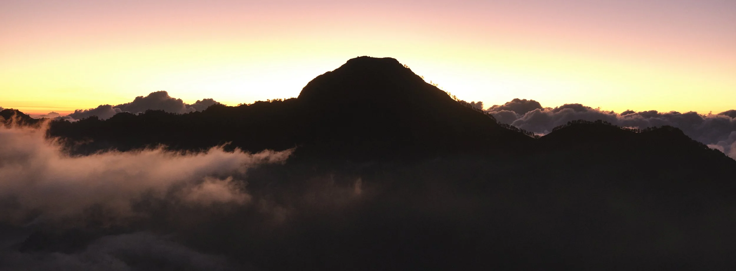
We did not sleep that night. Despite counting sheep and trying every trick in the book to doze off, I don’t think either of us properly fell asleep. At 1.30am, we were both zombies. Crawling out of our tent, we realised that Rama was still asleep! Not a great start, but he was very apologetic about it, and the hot ginger tea from the porters definitely soothed my spirits. After a quick nutella sandwich breakfast, we ended up leaving our campsite at around 2.25am, just under half an hour after our intended start time. The goal was simple: make it up to the summit to watch sunrise. The summit push comprised three sections (with an expected time of one hour, 90 minutes, and one hour respectively), which Rama estimated would take approximately three and a half hours at “normal speed”. With sunrise at 6.30am, this meant that we weren’t late, but the delayed start meant we had reduced our buffer time significantly. The pressure was further intensified by the fact that just a couple weeks prior, my 10 year old cousin had summited Rinjani with his parents, and I knew that if I did not make it up in time, I was never going to hear the end of it.
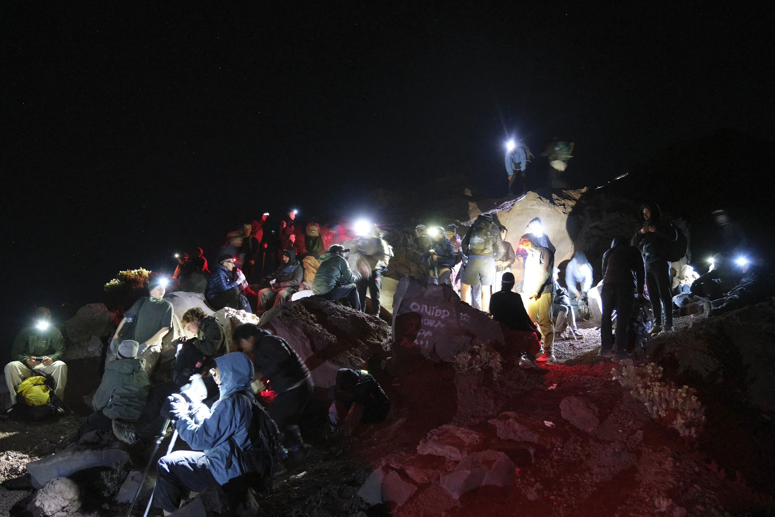
The rest point before the final push. There were some people who were weighing up whether they should carry on, while others were ready to charge up the hill. Probably the only “chaotic” spot on the mountain beyond the summit itself.
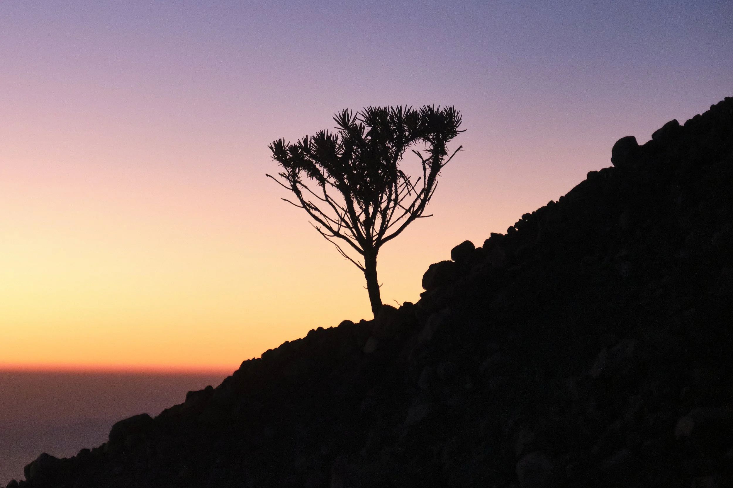
The first section was like walking up a sand dune. The good news was that I have some experience with climbing sand dunes, especially in Mongolia when I was 15. The bad news was I’m probably double the weight I was back then, and so at parts it felt like I was moonwalking, with every two steps forward resulting in one step back. Following the footprints of those ahead of us, we slowly and steadily climbed in altitude. It was pitch black and we couldn’t see much around us, but given the steady flow of traffic, we were never at risk of getting lost. The second section was the easiest but the longest, with flat(ish) sections alternating with steep inclines, but largely on gravel or solid ground. We made decent time here, and it was around here where I started really getting into the groove of things. The serenity of the night climb was largely broken by people blasting their music, while others were somehow watching the Portugal versus Spain World Cup match (I have no idea how they had signal). Still, soon enough we made it to the final “rest point” before the final section. One hour of the hardest and steepest incline of the trek, with a terrible combination of loose gravel and sand and narrow cliff edges on either side. As we progressed along our ascent, there were a ton of people sitting/lying on the edge of the mountain who had looked as if they were going to give up. Not letting them deter us, WT and I carried on labouring up to the top. Truthfully, I was a little scared that it would be too much for WT, that she would want to stop, or that she would start scolding me and questioning why was was on a freezing mountain at 4am instead of being nice and cozy in a resort back in Kuta. Instead, she was a true champion and kept pushing on. First light started to break as we neared the top. As I stopped to “take a few shots” (catch my breath), I noticed that she and Rama had left me behind, and had made the final push.
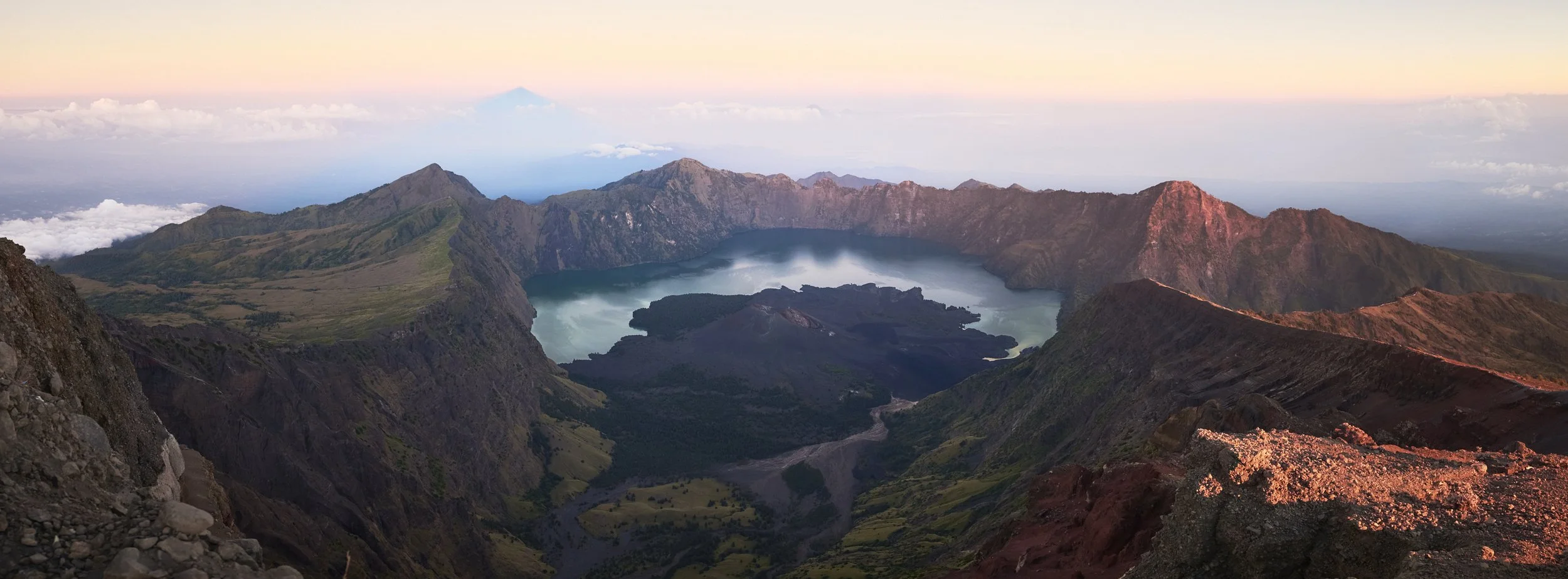
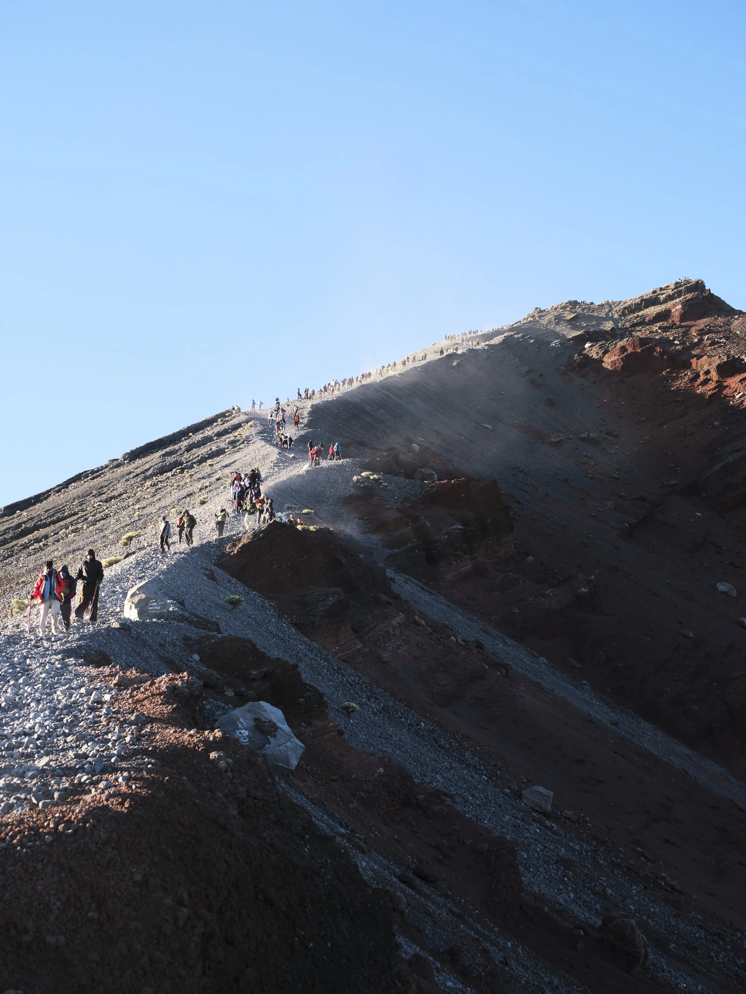
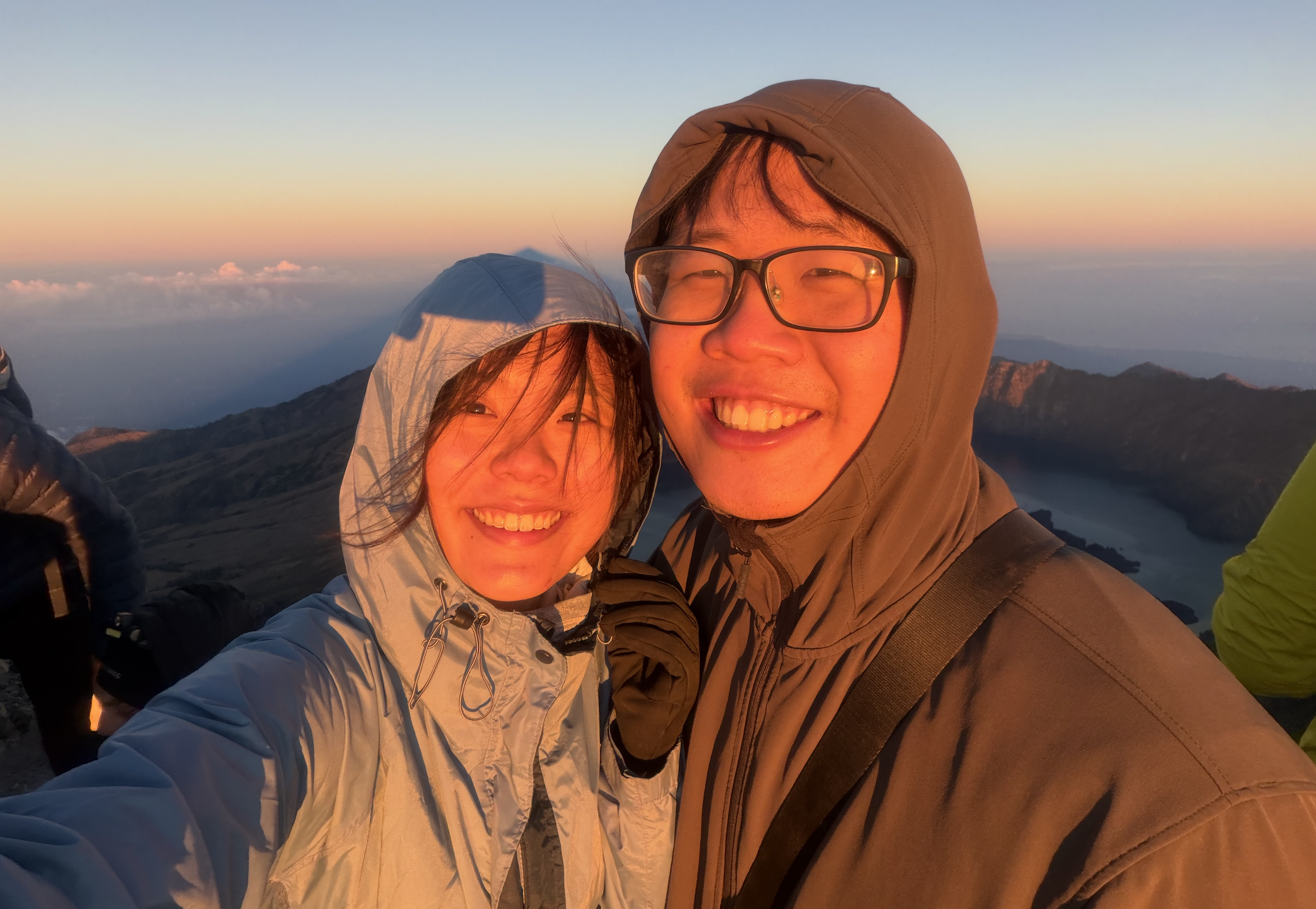
Summit! We had gotten to the top around 10 minutes before the official sunrise time. Looking down, there were dozens of hikers still on the slope, who unfortunately were not going to make it up to the top by sunrise. We sat on the ground along with everyone else who had made it up, enjoying in our success. The sun popped out from the horizon to thunderous applause. While it wasn’t the most spectacular sunrise I’ve witnessed, getting to spend it with someone so special made it one of the most enjoyable. I went to take my obligatory pano shot of the crater, before Rama gestured that it was time to head back down. After sliding our way down the mountain and some very welcome chocolate and banana pancakes back at base, we packed up and began our descent into the crater. Slightly delirious from the lack of sleep, it was a little surreal that despite having already walked for six hours that morning, we still had about another 9-10 hours to go before our next campsite.
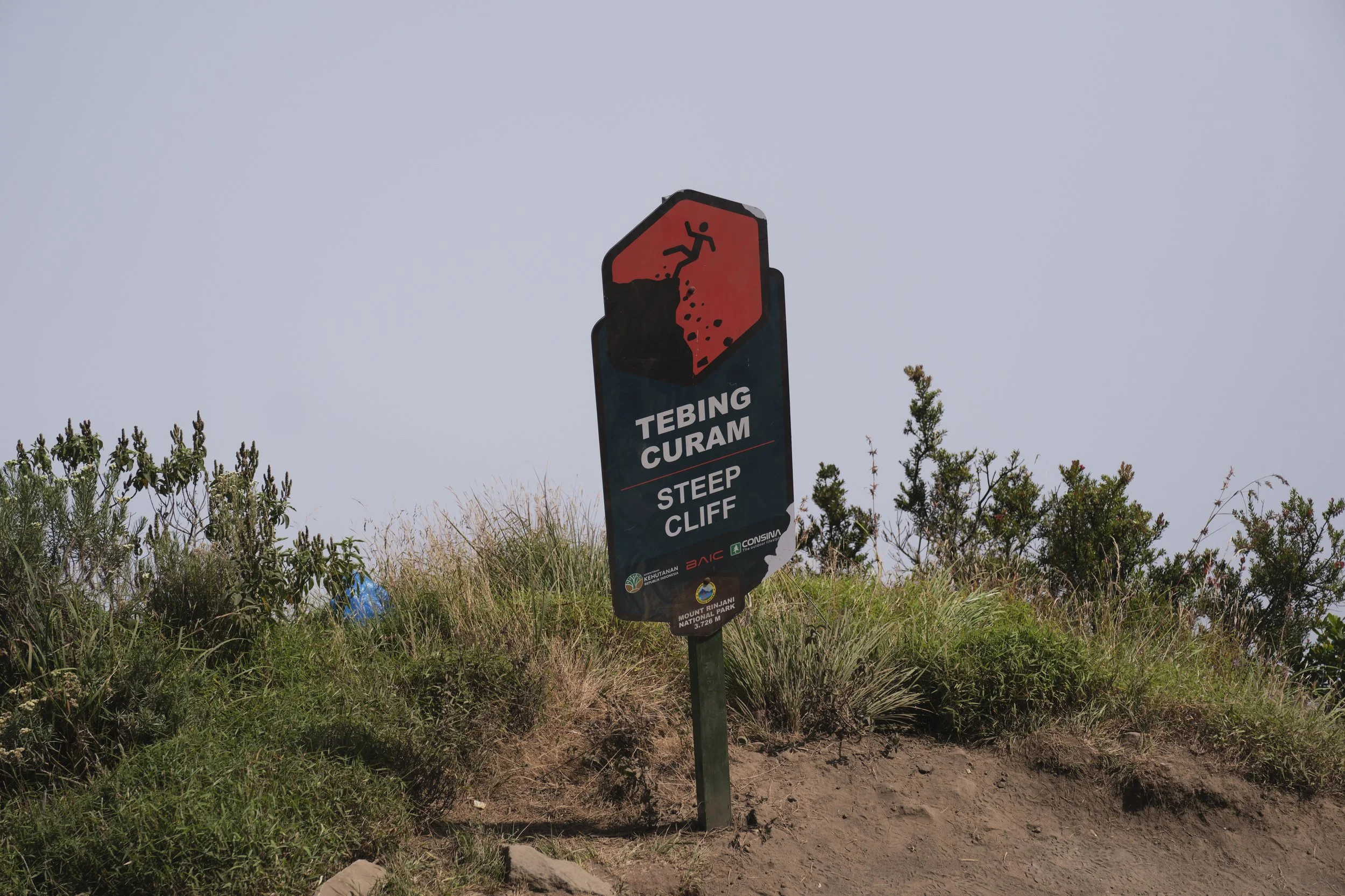
Quite an apt summary of our descent: zero view and steep declines.
As normal, going down was tougher than heading up. The highs of hitting the summit had passed, and progress became incredibly slow, as we endlessly slogged and meandered our way down the mountain. We were both tired, and at some point there was a discussion as to whether there was a way we could end early (i.e. during the second day). However, given our glacial pace, it was not a feasible option. To top it off, the fog had come in early, and so by 10.30am, we had virtually no view whatsoever. Given the circumstances though, there was no choice but to keep going. After a very late lunch at a rest stop (I believe the porters had been there nearly three hours), we skipped past the crater to try catch up for lost time. At least, so we were told - between the lack of sleep and the fog, I have no clue as to when we passed the crater. In fact, I had zero sense of where we were most of the day until we reached a natural hotspring in the late afternoon, where we could (briefly) rest our aching legs. We eventually made it to our campsite right as the sun began to set - 15 hours of walking and tens of thousands of steps later. After a quick dinner, we (or at least I) slept like a baby.
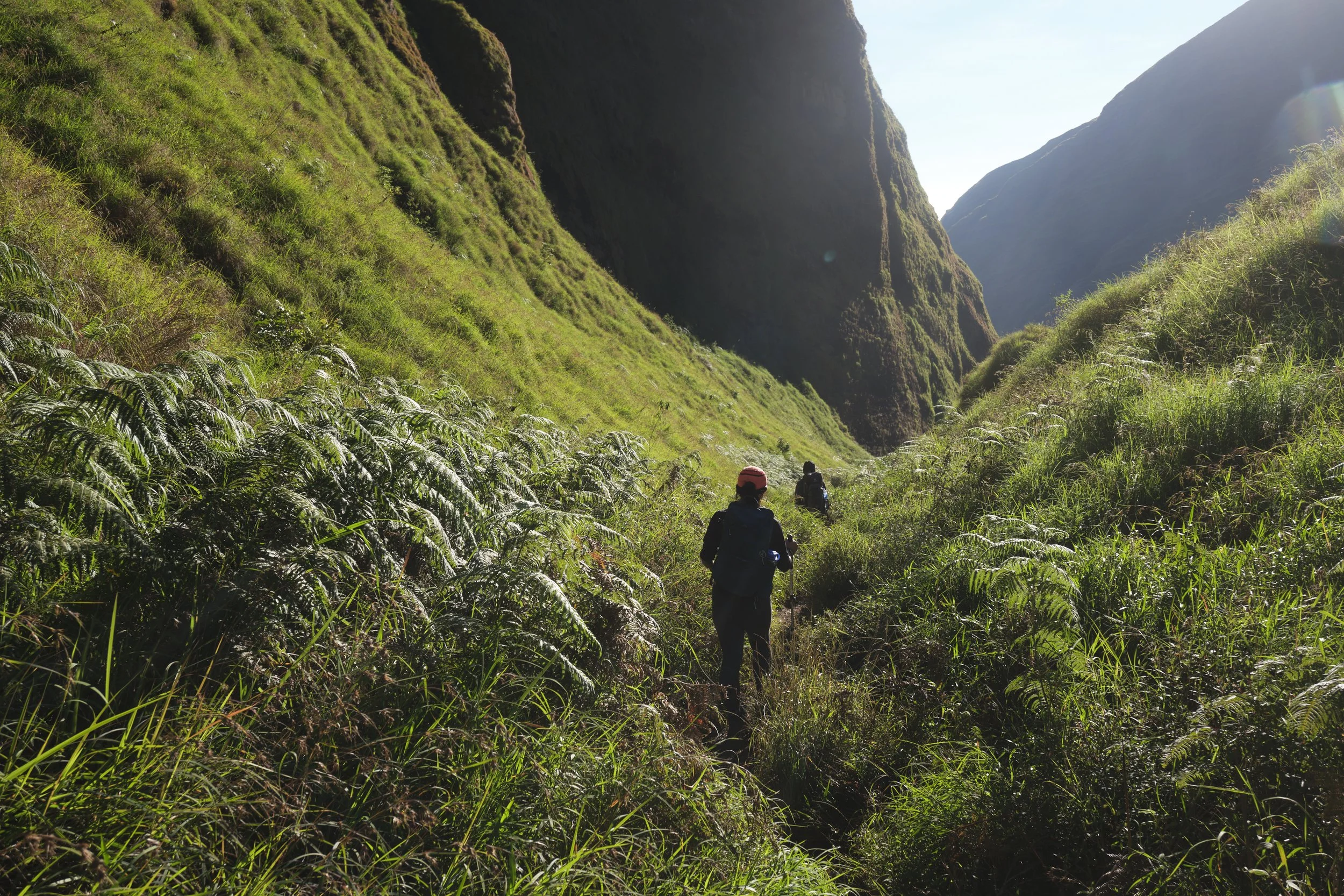
We set off at 7am the next morning. Rama had suggested that at “porter speed”, we could be out by 12pm. However, given our pace, he was concerned whether we’d make it out in time for dinner. As we made our way down, we finally had a clear view of the Torean trek. Walking past waterfalls and through lush vegetation, the mountainous landscapes were slowly morphing into increasingly familiar Southeast Asian jungle. Thanks to my Garmin, I knew how much we needed to descend, but not how far we needed to go. We were both in better spirits this morning, and I was especially amused when WT swapped into slippers (since her feet were aching). We had set a target of being done in seven hours, and at the lunch stop we weren’t too far off that. As the slope gradient flattened and we inched closer to the finish line, all I could think about was a warm shower, a cozy bed and a double portion of beef rendang.
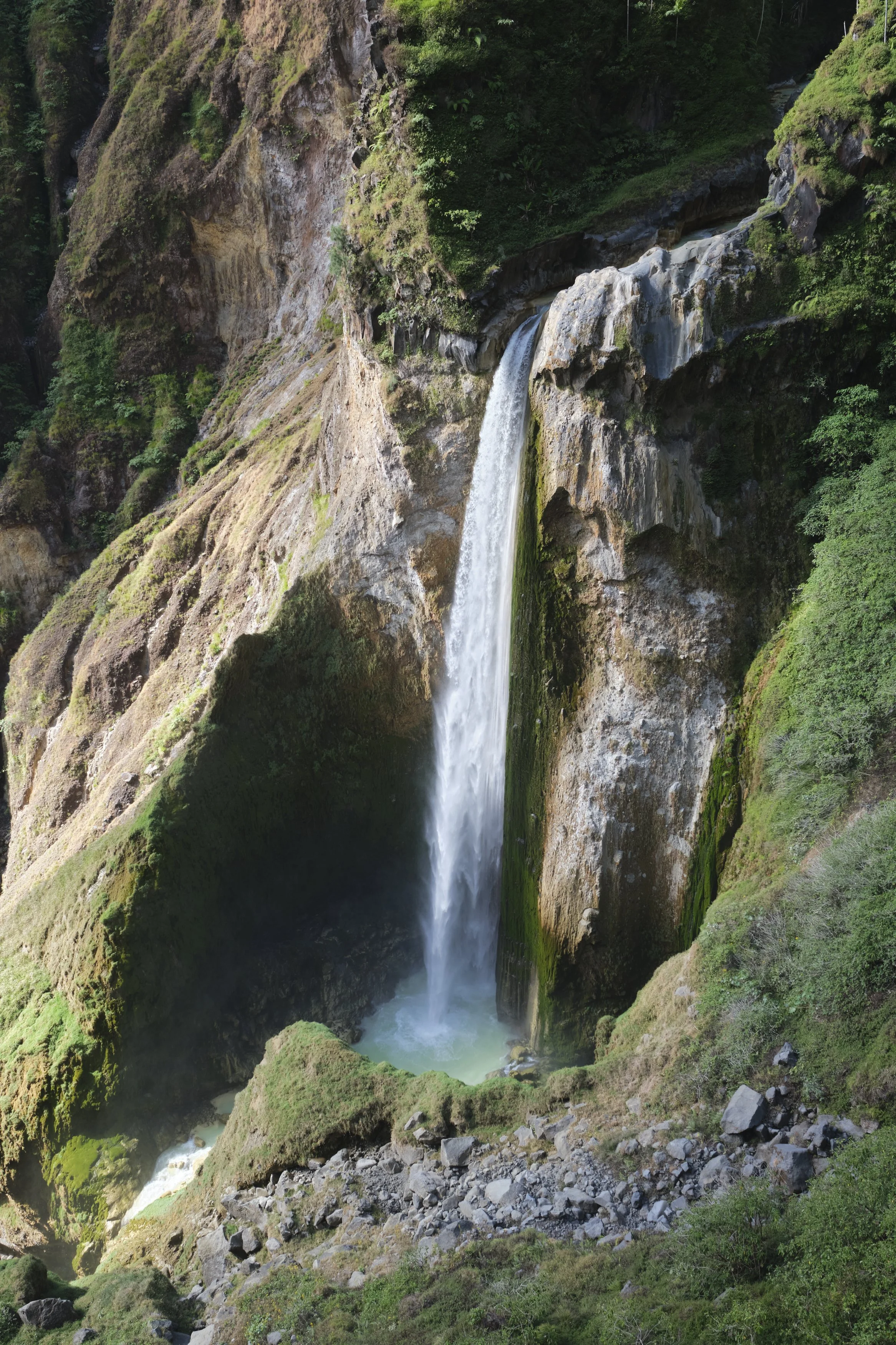
This waterfall is probably the most iconic part of the Torean route. I liked how the light played off the waterfall.
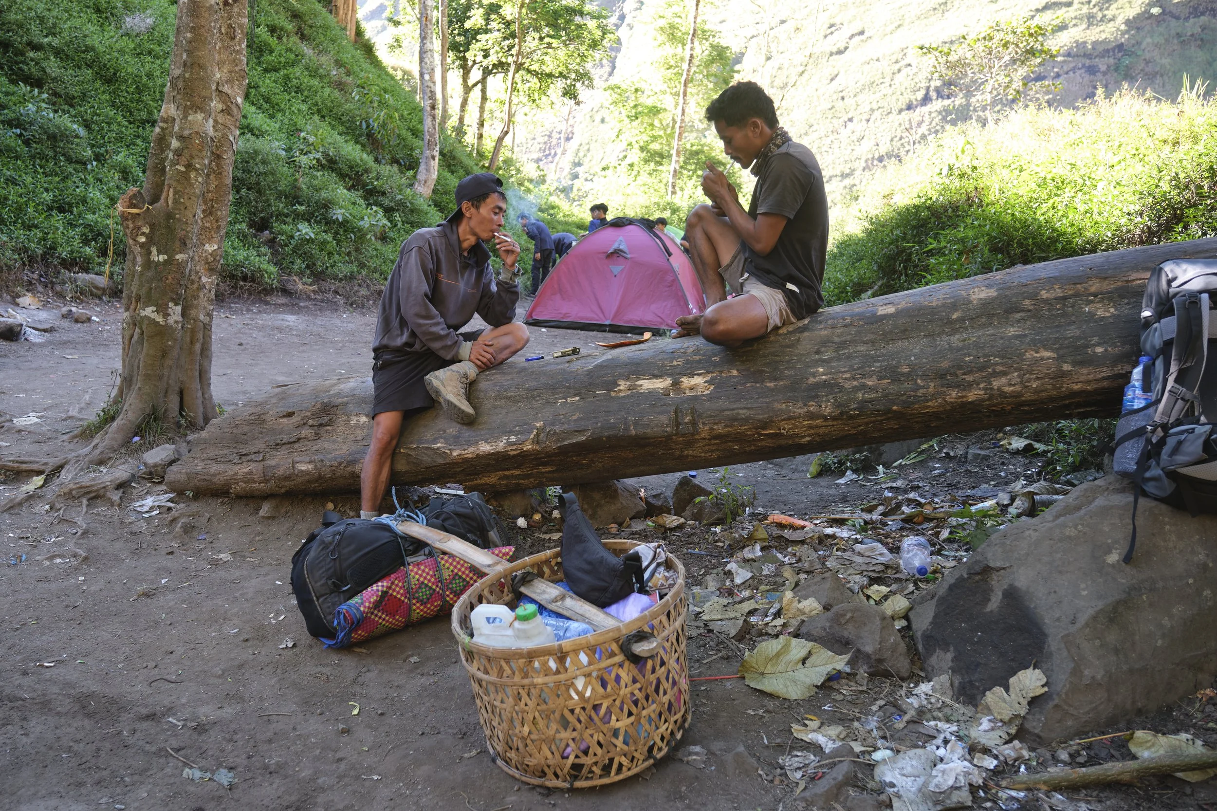
Every rest stop, Rama would go and smoke. “No cigarette no power”, he claimed.
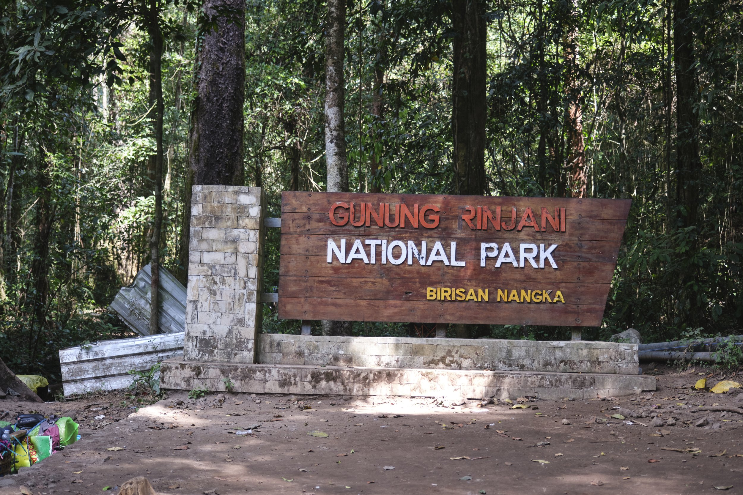
The sound of vehicles and construction meant we had reached Torean village, the end point for our trek. In three days, we had gone from 1,200m up to 2600m, then up to the summit at 3726m, and then back down to 600m. It was a tough hike no doubt, but it was definitely doable, and for myself I was glad that I did it (relatively) pain-free for a change. For WT, this marked her successful completion of her first multi-day trek, and I could not have been more proud of her for pushing through, especially when things were tough. With only minor “reparations” post-trek, I remain hopeful that Rinjani will not be our last trek together. Still, following a hard couple of days, even I was looking forward to lying by the pool and doing nothing for a few days.